Woods and Lakes Airport Information
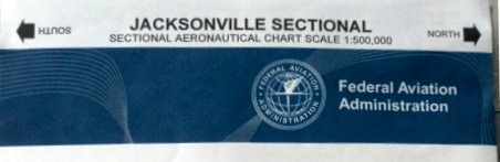
Not for Navigation
AIRPORT INFORMATION and GUIDELINES
This airport is for private use only!
Unless for emergency, premission is required before use
NOTE: All aircraft using this airport must have Liability Insurance!
- Identifier: FA38
- Unicom: 122.9 Left patterns - announce position please
- Pattern Altitude: 1100 ft ASL
- Runways: 3 / 21, approx 2400 feet
(Center paved / right and left Grass)
- Lighting: Dusk to dawn auto activated

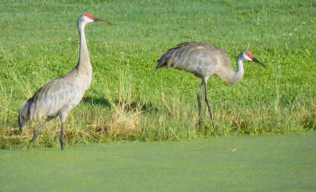
Watch for golf carts, residents walking and SAND HILL CRANES
- Lat/Long: 29-07-24.92N / 081-53-13.300W
29-07.41542N / 08153.22167W
29.1235903 / -81.8870278
- Elevation: 100 ft / 30 m (estimated)
- Variation: 03W (1985)
- From City: 6 miles NE of Ocklawaha, FL 32179
- Run-up: always parallel to runway, avoid debris in hangars
Operational requirements:
Always operate your aircraft around airport within the
FAR 91.119 guidelines in order to
ensure safety of residents and neighborhood courtesy
Nearby radio navigation aids
VOR radial / distanceVOR nameFrequency
OCF r100 / 18.1 nm OCALA VORTAC 113.70
GNV r153 / 39.6 nm GATORS VORTAC 116.
Woods and Lakes Airpark is a resident owned property with 50 lots running parallel to runway. Developed in the '80's in the Woods and Lakes Subdivision located in the Ocala National Forest, we enjoy an interesting diversity with residents from all over the US, Canada. All have the common bond with the joy of aviation.
Please take notice >


Click above for fun article about
Woods & Lakes Airpark